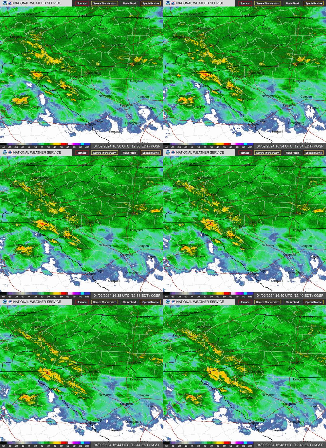
With a storm headed toward Western North Carolina, many residents may be remembering the destructive effects Tropical Storm Helene had on the region in late September.
The good news, according to the National Weather Service, is that while the storm will certainly sweep through Asheville and the WNC region, it will be nowhere near the scale of Helene.
Here’s what meteorologists said.
Hazardous weather outlook in Asheville, WNC
A weather alert issued by the NWS at 2:10 p.m. Tuesday, Dec. 10, warned that a storm system is moving into the area with multiple rounds of showers and possible thunderstorms. Locally excessive rainfall from heavy showers moving over the same locations may result in isolated flooding.
While gusty winds are a possibility, these conditions are most likely after the storm has passed on Wednesday, Dec. 11.
More: Asheville-area water lead test results are in for 159 private homes: What to know
How much rain will Asheville, WNC get?
The NWS expects Asheville to see roughly 1.5 inches of rain from the storm, according to NWS Meteorologist Chris Horne. Amounts will vary across nearby areas, with potentially closer to 2.25-2.5 inches toward Skyland and Fletcher, and 2.5 inches near Fairview and Bat Cave.
“Across Buncombe County in general, there’s going to be kind of a gradient,” Horne said. “It’s going to bring more in the South, like towards the airport and east toward Fairview area and Swannanoa, but less the further northwest you get in the county, like up toward Canto or Weaverville.”

Will it flood in Asheville, WNC?
Luckily for WNC, no serious flooding is expected due to the incoming storm. Some isolated flooding is possible, as indicated by the hazardous weather outlook, but Horne said that river overflow shouldn’t be an issue.
“There’s certainly going to be some kind of concern about flooding of low-lying areas,” Horne said. “Right now, our French Broad and Swannanoa river forecasts are for it to remain below flood stage. So, you know, there’s going to be areas of high water, perhaps some drainage issues here and there, but you know, nowhere even near the magnitude of what happened two and a half months ago.”
Will there be more landslides?
Landslides aren’t an NWS area of expertise. However, Horne was able to say that, while the amount of rain the region will see isn’t generally enough to cause concern, areas already weakened by Helene should be monitored.
“Any kind of heavy rain can disturb already-disturbed soil, even though the magnitude of rain is typically far less than what we would expect for any landslides that occur,” Horne said. “But just off the top of my head, given the past history of all the numerous landslides, I bet you there’s going to be a little more susceptibility for them to kind of move again.”
There were over 2,000 landslides in the WNC region caused by Helene and the storm’s predecessor rainfall event.
When will the storm end?
After tonight, Dec. 10, the hazardous weather outlook issued by the NWS will end. Any showers on Wednesday, Dec. 11, are forecast to occur mainly before 9 a.m., with some patchy fog before noon.
Iris Seaton is the trending news reporter for the Asheville Citizen Times, part of the USA TODAY Network. Reach her at iseaton@citizentimes.com.
This article originally appeared on Asheville Citizen Times: Will it flood in Asheville, Western NC during Dec. 10 storm? Forecast
